Five-Year Reviews and Technical Writing
Remedy Protectiveness Reviews for Hundreds of Superfund Sites Nationwide
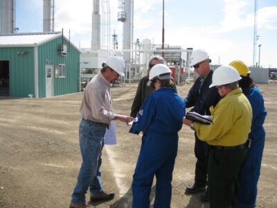
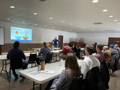
As Superfund sites are cleaned up and returned to use, the EPA regularly reviews conditions to make sure remedies remain protective of public health and the environment. Skeo provides the agency with a full-service approach to these five-year reviews – supporting site inspections, interviewing stakeholders, and gathering and analyzing information. Part of the work involves taking into account any major changes in EPA guidance and risk assessment methods. To date, we have supported EPA’s regional offices with over 800 five-year reviews.
At the Northwest 58th Street Landfill Superfund site in southern Florida, the agency’s revised approach to vapor intrusion meant that an earlier site evaluation was no longer up to date. The agency needed to make sure the site’s vapor intrusion exposure pathway would not pose a potential risk for people in the future.
Skeo worked with the EPA on the five-year review, conducting a screening-level vapor intrusion risk analysis to look at the protectiveness of the remedy under a range of development scenarios. We led all aspects of the review, evaluating institutional controls and considering all information that could affect the protectiveness of the remedy.
Our findings indicated that the predicted risk and hazard index for the vapor intrusion pathway were well below the agency’s risk management levels. Contaminant concentrations continue to decline. The comprehensive review led to the agency’s determination that the remedy for the landfill remains protective of public health and the environment.

