Economic and Geospatial Analysis

Overview

Skeo’s technical staff excel at integrating technical expertise with knowledge of local, state, and federal government programs to develop innovative and forward-thinking solutions to address clients’ challenges and priorities. We have expertise in economic and spatial analysis, visualization of complex information, interactive data and geospatial tool development, and process automation to help with shared learning and informed decision making.

Information Management

Our data team is well-versed in the nuances of key spatial and tabular datasets for environmental and economic analysis, including parcel data, economic and property values, Superfund and RCRA boundaries, remedial features, and sampling data.

Data Analysis and Visualization

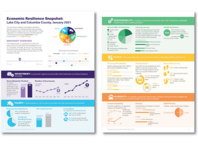
Our economic and spatial analysts integrate technical expertise with deep understanding of environmental policy and programs to provide insights for communities and decision-makers. Our designers and analysts apply best practices to efficiently create visually stunning interactive communication tools that inform, inspire and encourage engagement.

Interactive Tools

Our expertise with industry-standard GIS and data management tools allows us to provide inventive, efficient and well-informed approaches to address client priorities. Our GIS developers design dynamic interactive mapping tools and dashboards to facilitate public engagement with and understanding of complex geospatial information. To streamline workflows and reduce client workload, Skeo develops data management and process automation tools across a range of platforms and programs including Microsoft PowerAutomate and Sharepoint, ArcGIS Online and Survey123.